We rise to the challenge !
Our Services
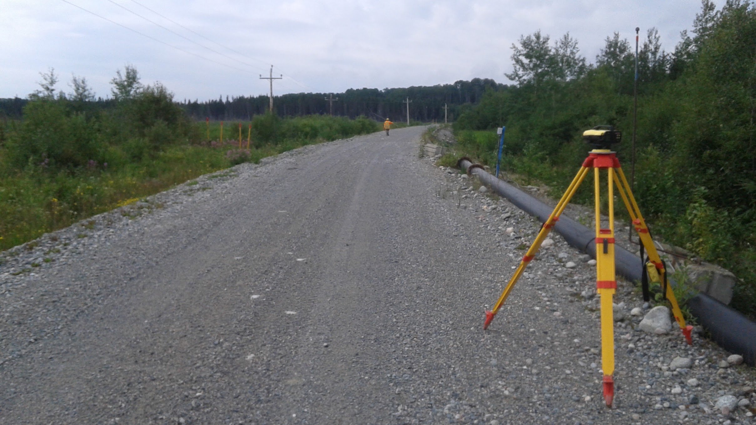
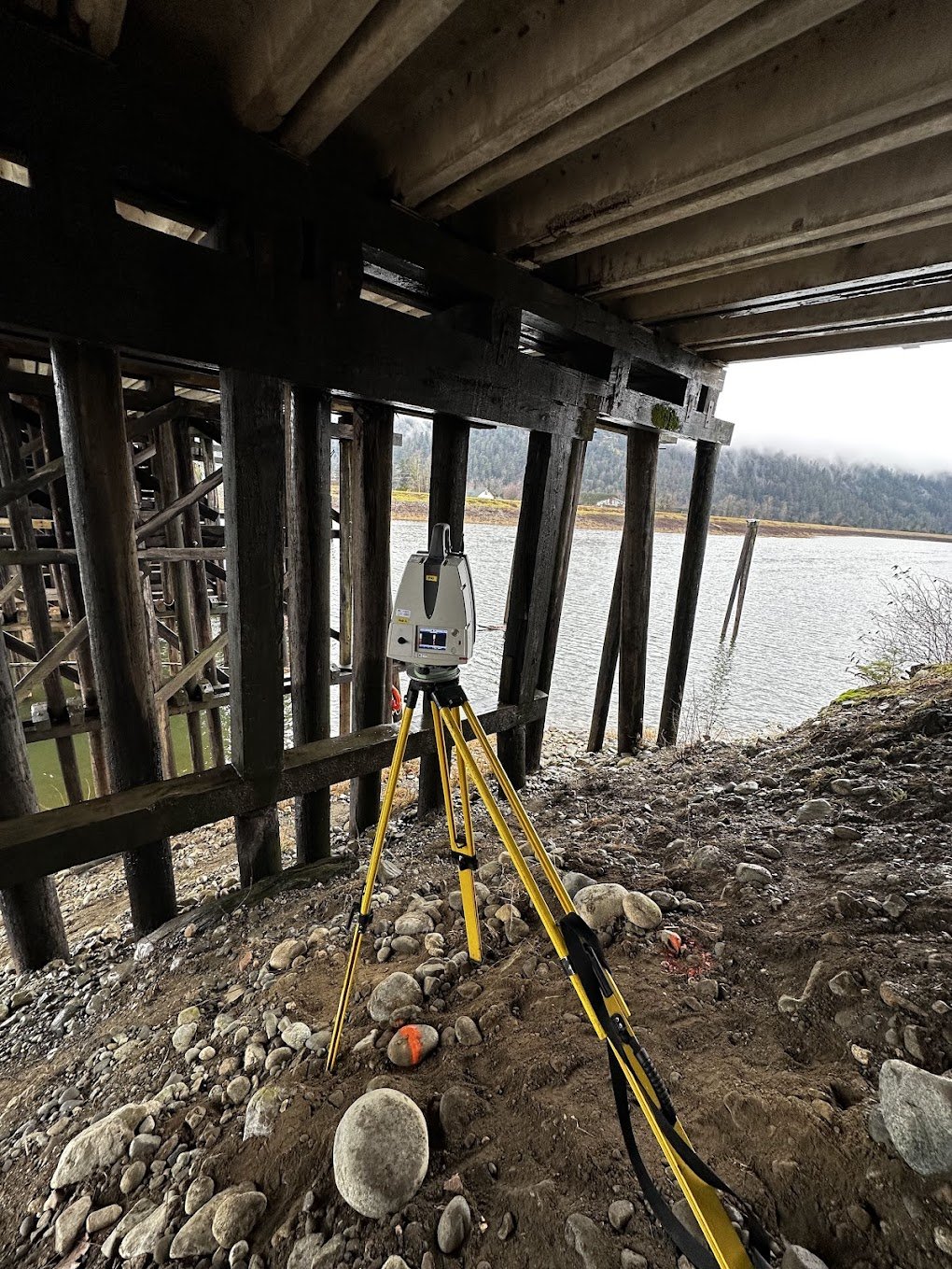
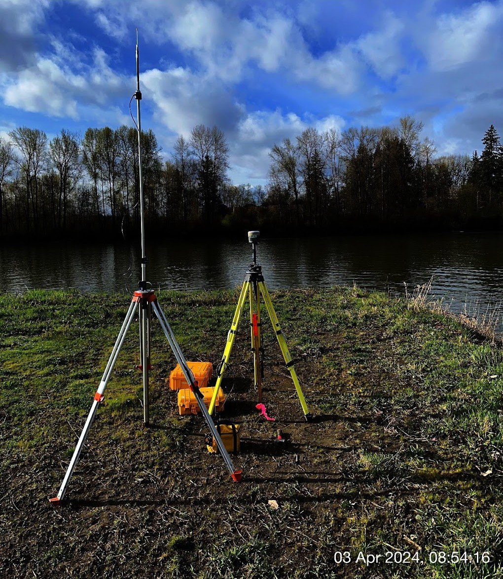
Relying on cutting-edge technologies like GNSS, multistations, 3D scanners, RDs, SLAM and UAVs, we can provide:
As built and Monitoring surveys
Land title surveys
Photogrammetry (drone or terrestrial)
Lidargrammetry (drone, land or marine platform)
Aerial Photography & Videography
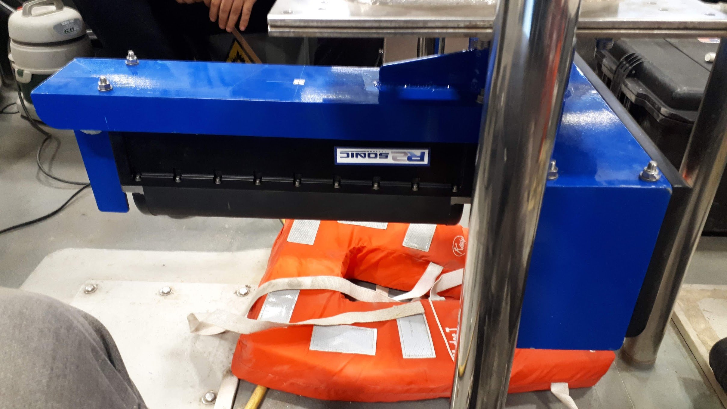
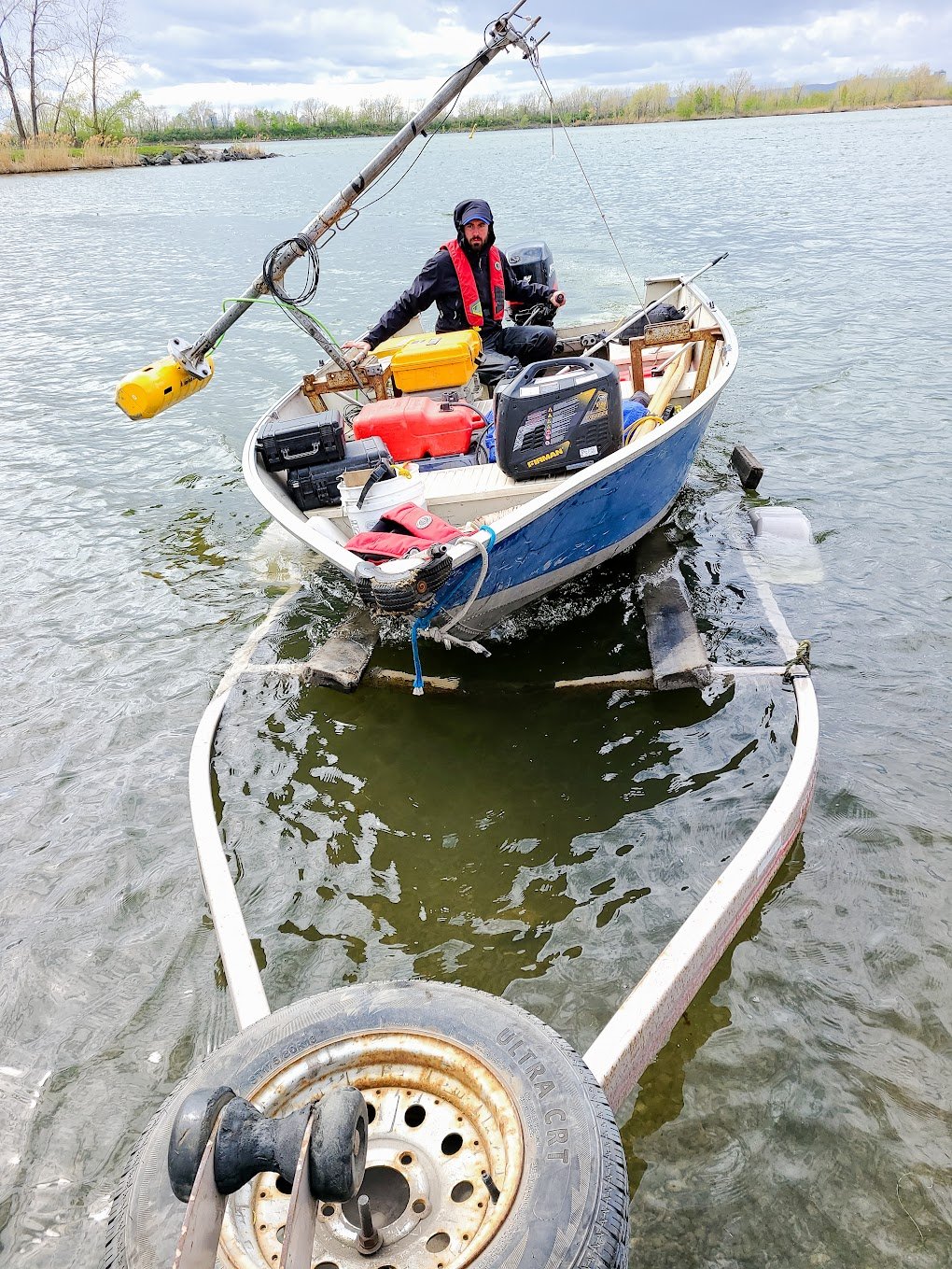
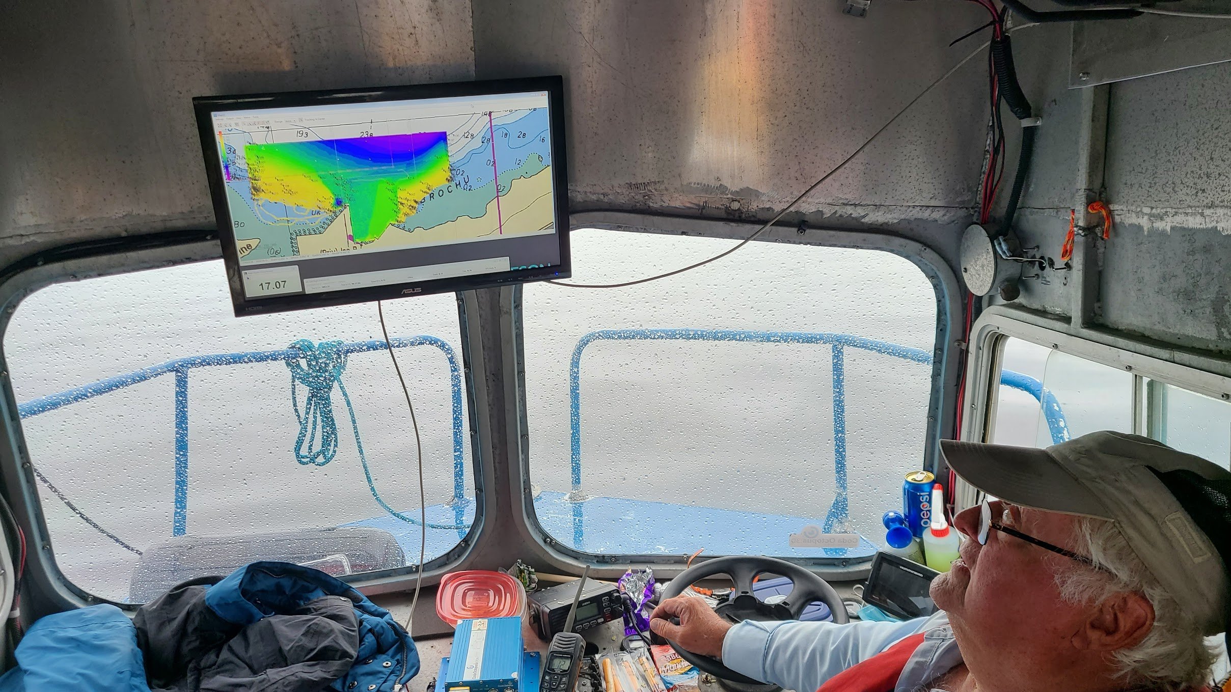
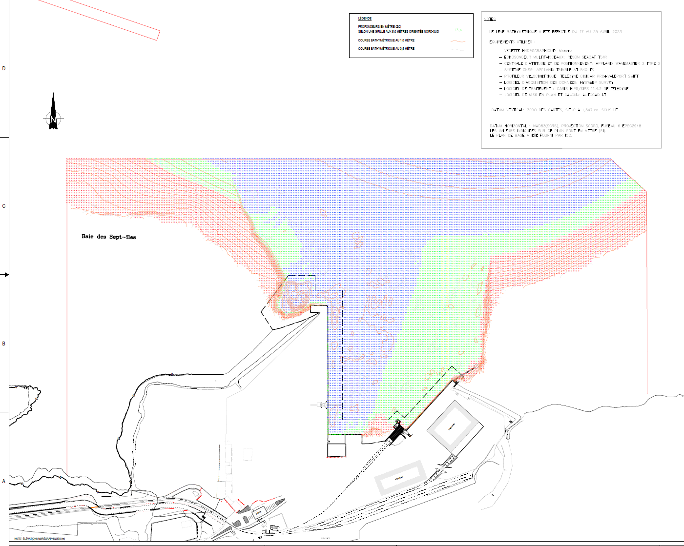
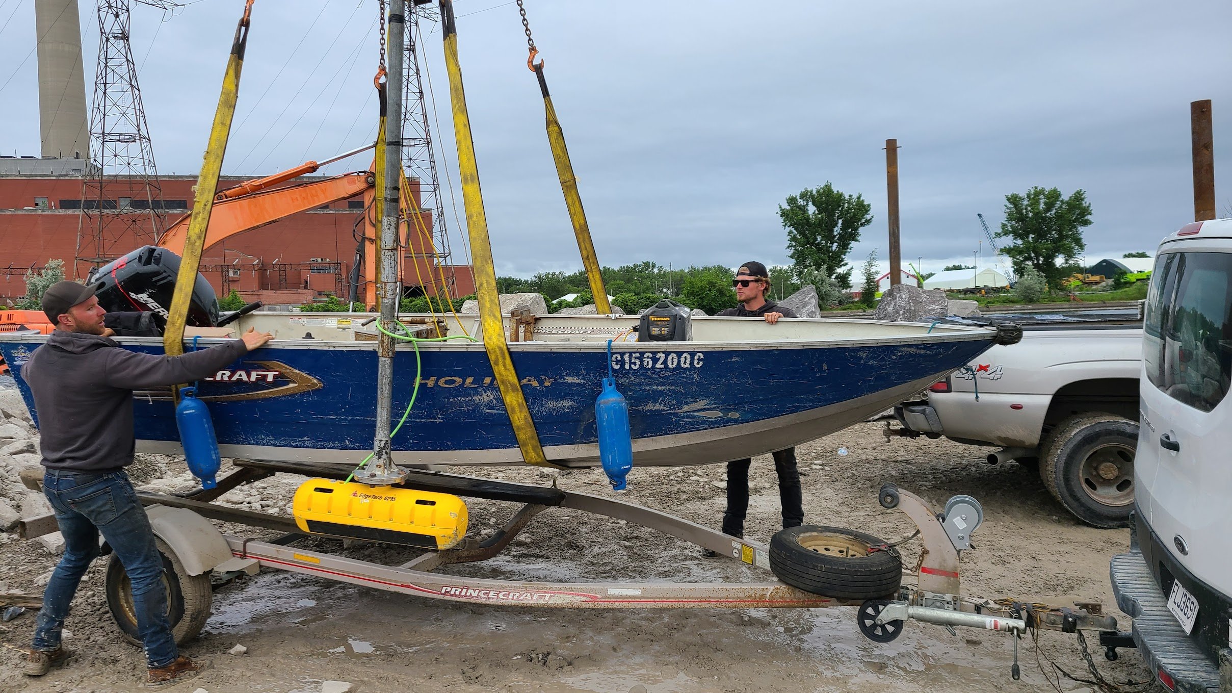
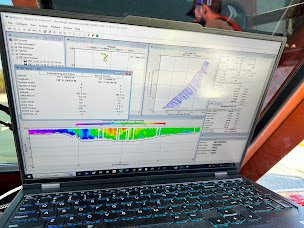
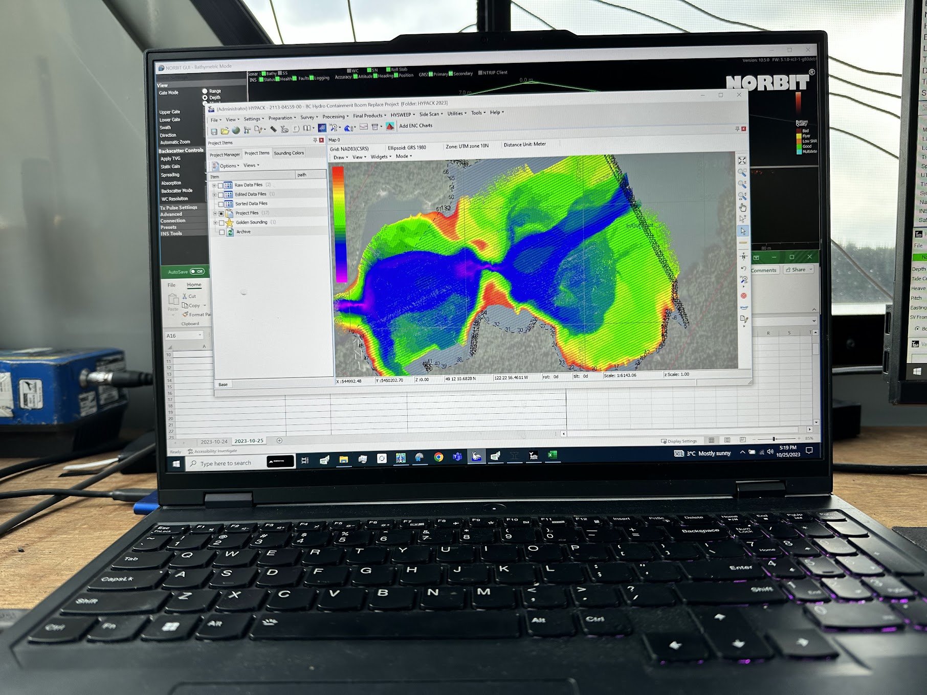
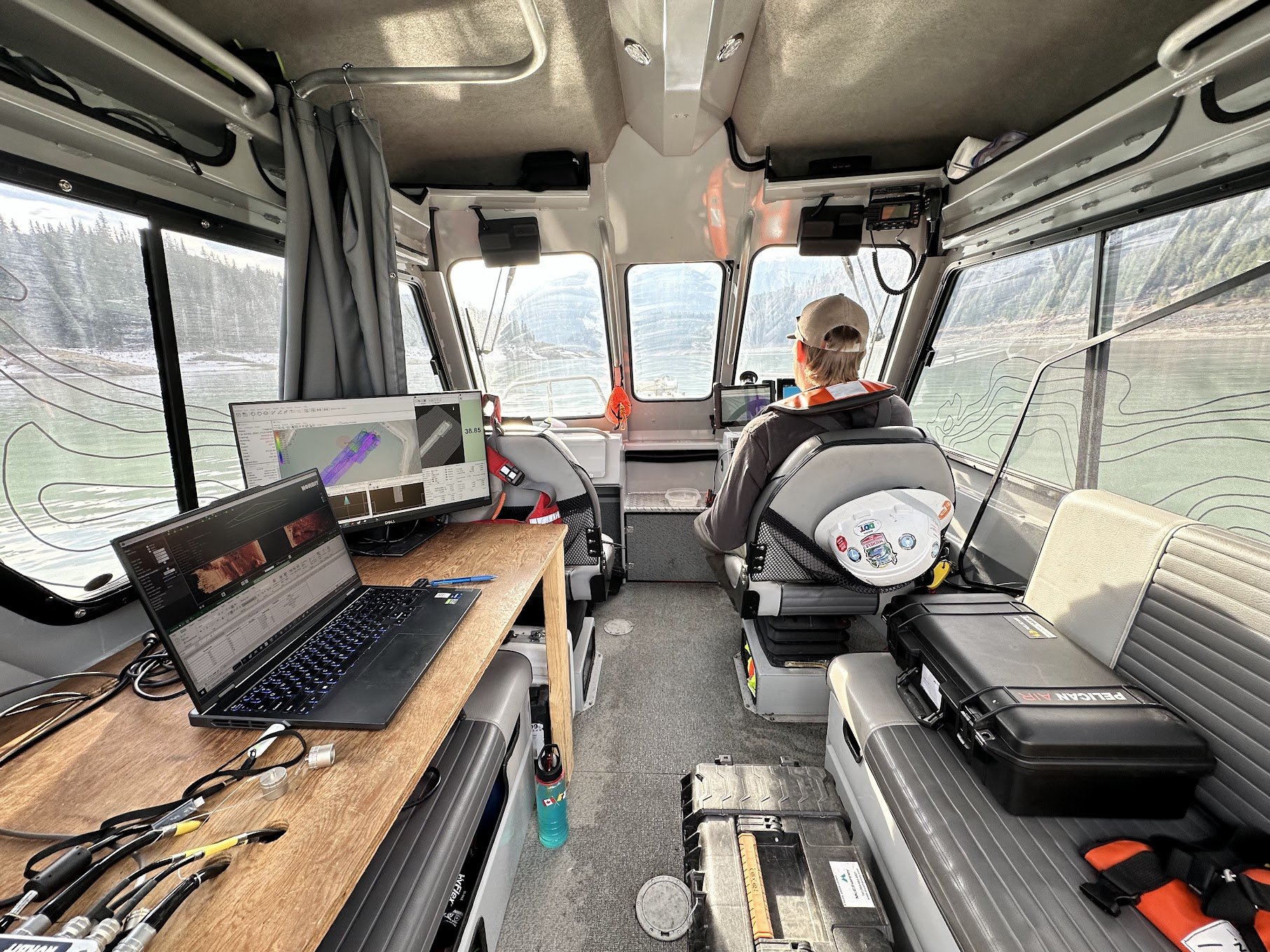
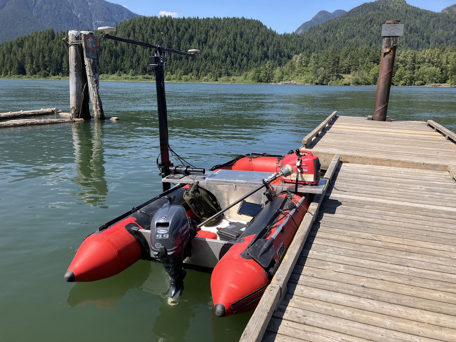
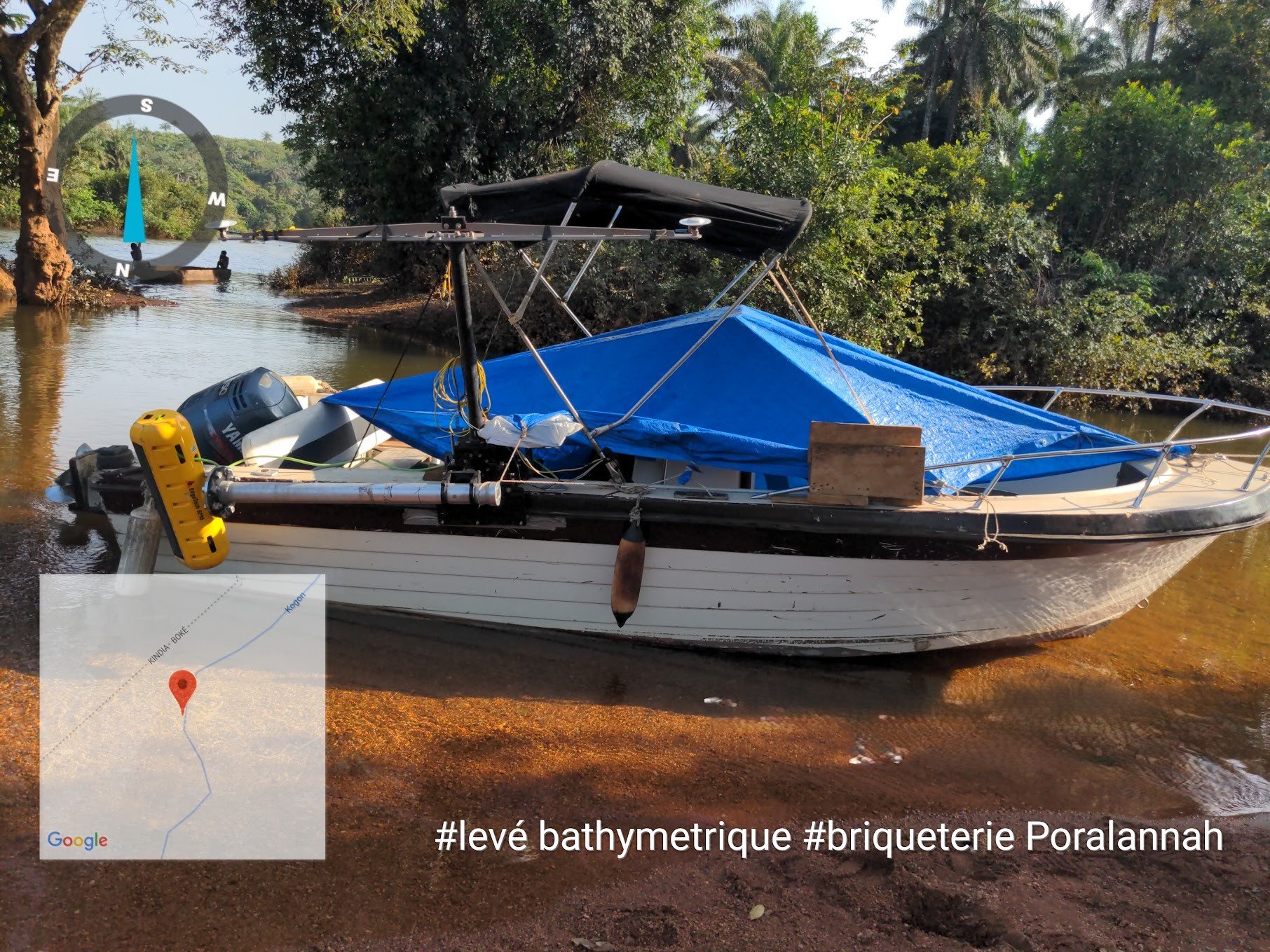
Bathymetric surveys
Currents and discharge surveys
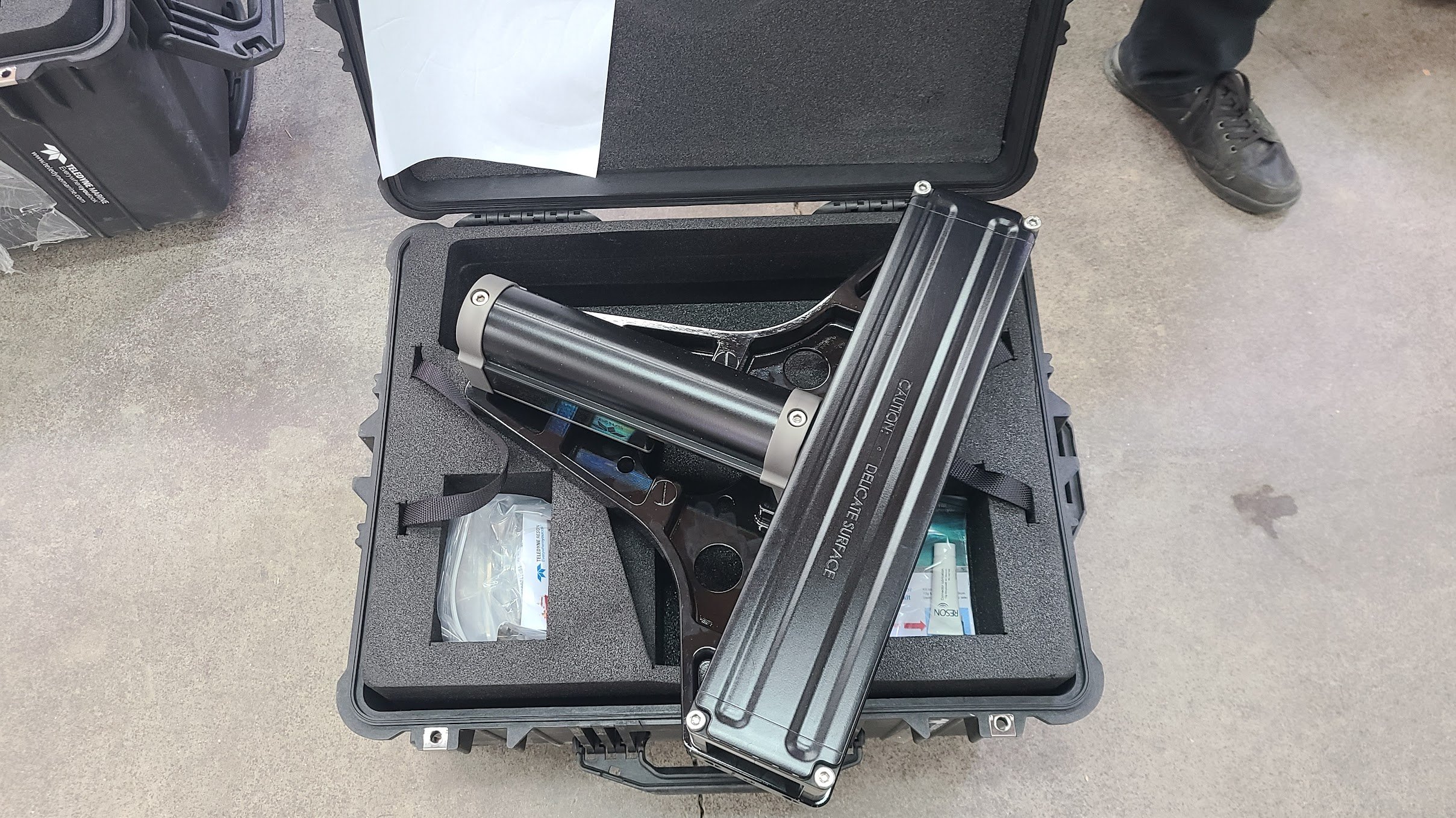
3D Sonar imagery
ROV inspection
Tide gauge installation and geometric leveling
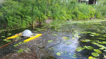
Rivers and shallow systems surveys
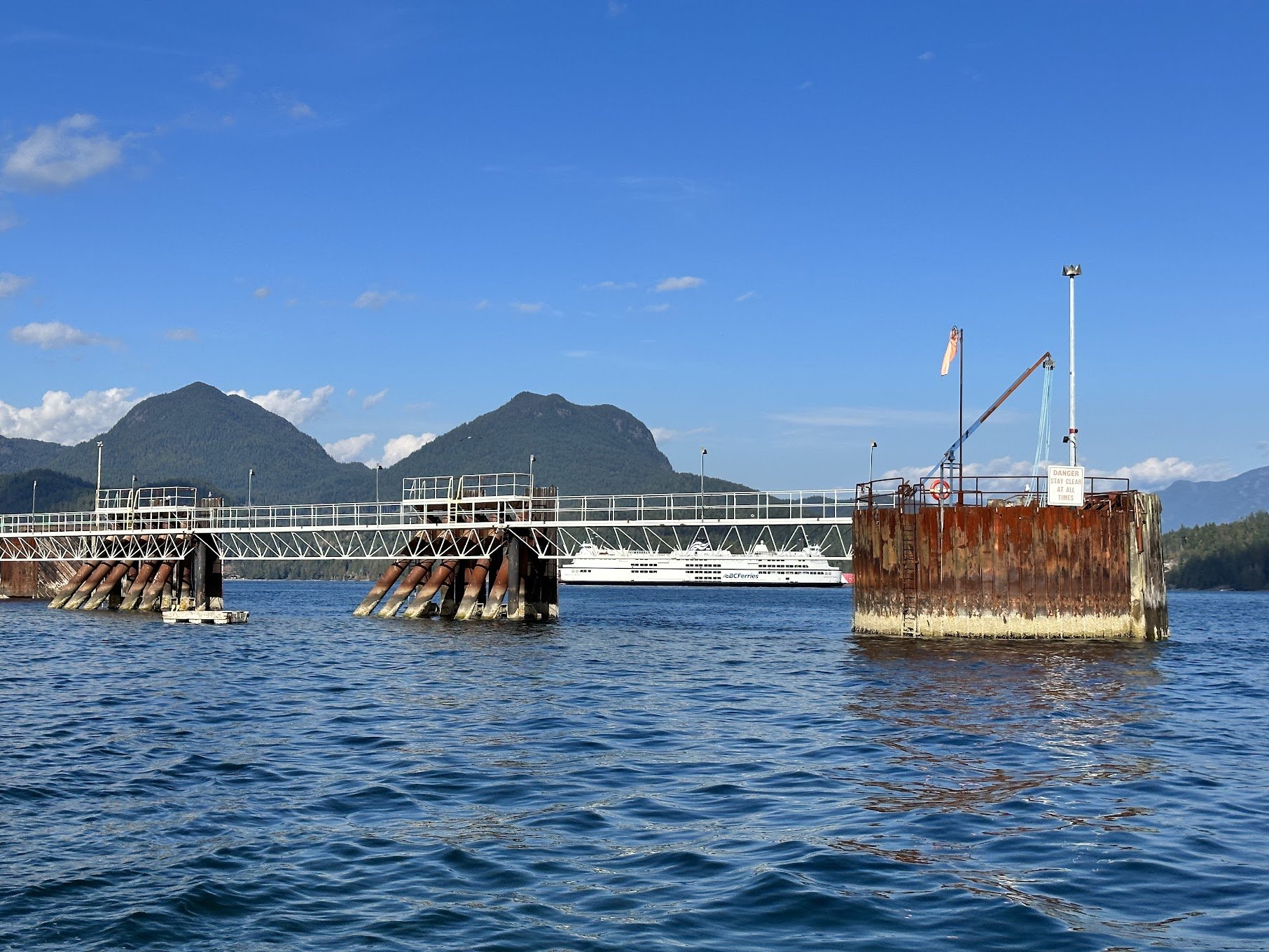
Underwater assets surveys (pipeline, cable, monopile)
Underground detection and depth of cover surveys (pipes)
Geometric measurement and sensor calibration
We provide comprehensive geospatial data services, ensuring accuracy and compliance for your projects. As Chartered Professionals, we are authorized to sign and certify plans and reports, meeting all legalized professional requirements. Our data certification services include:
Data Validation and Verification: Rigorous checks to ensure data accuracy and reliability.
Compliance Reporting: Preparation of reports meeting legal and industry standards.
Plan Certification: Official signing and sealing of survey plans.
Legal Boundary Documentation: Generation of legally defensible boundary surveys.
Data Quality Assurance: Implementation of workflows to maintain high data integrity.
Professional Sign-Off: Authorizing and certifying geospatial deliverables.
We specialize in meticulous data processing for bathymetric and hydrographic surveys, employing rigorous workflows to ensure the highest accuracy. Our expertise encompasses industry-leading software to deliver precise and reliable results. Our data processing services include:
Bathymetric Data Cleaning & Processing: Utilizing Caris HIPS & SIPS, Qimera, Autoclean and Hydromagic for comprehensive data refinement
Multibeam & Singlebeam Data Analysis: Employing Hysweep and SonarWiz for detailed subsea elevation and bottom condition assessments.
Drone-Based Photogrammetry & LiDAR Processing: Using OpenDroneMap for high-resolution 3D model and orthophoto/orthomosaics generation.
ASPRS Point Cloud Classification
Custom Classification and segmentations (tiliing)
Digital Elevation Modelling (DTM/DSM)
Web based 3D Visualization
Satellite based data science
GIS & Mapping


